

Etnografiska museet, Stockholm
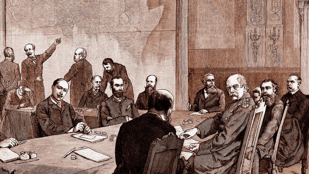
Afrika, kartan och världsbilden
In September 2026, the UN General Assembly adopted the resolution “Correct the Map”, which states that the world maps we are used to seeing give us a distorted view of the world.
Resolution A/80/L/104, “Correct the Map”, was proposed by the African Union’s 54 member states and adopted by an overwhelming vote of 164–1. It encourages member states and international organisations to abandon the traditional Mercator projection and instead use a new projection, “Equal Earth”, which more accurately represents the relative sizes of countries and regions. If the resolution is followed, it could mean that the maps in our books, newspapers and phones change shape. Europe, North America and northern Asia could shrink considerably.
This lecture provides historical background to these recent developments, with a particular focus on Africa and the colonial period. How has Africa been depicted on maps throughout history, and how has this influenced the rest of the world’s perception of the continent? What is a projection and how does it affect the way a map looks? What role did maps play when Europe conquered Africa?
Petter Hellström is a historian of ideas and learning, a senior lecturer at Högskolan Dalarna and a visiting researcher at the Swedish Collegium for Advanced Studies. His latest research project, “Afrikas vita fläckar. Hur upplysningens geografer rensade kartan”, was funded by Riksbankens Jubileumsfond.
Tickets & times
Djurgårdsbrunnsvägen 34
115 27 Stockholm
Map
Etnografiska museet
Places to stay near Etnografiska museet



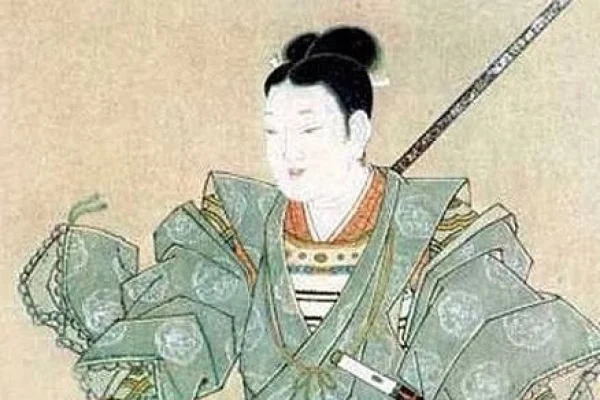
Samurajkvinnor – kvinnokrigarna på 1500-talet
Etnografiska museet

Chado: Min vandring på teets väg
Etnografiska museet
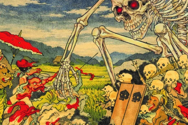
Mytiska väsen: Yokai
Etnografiska museet

Noh-teater föredrag, demonstration & teceremoni
Etnografiska museet

Olivia Rodrigo – The Unraveled Tour
Avicii Arena
Torka aldrig tårar utan handskar
Göta Lejon

Deep Purple
Avicii Arena

J. Cole – The Fall-Off Tour
Avicii Arena